
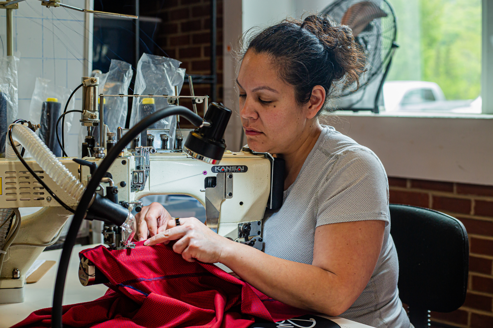

Lyla “Sugar” Harrod is a Burgeon Outdoor athlete and is the first transgender woman to complete the Triple Crown of long distance hiking. In the last three years she has racked up over 10,000 miles on trail and set Fastest Known Times including the women’s unsupported FKT of NH’s 48 4,000 footers, a route referred to as “The Direttissima”.

Announcing the "Divide to Crest Route"!
In April, I'll begin a 3,000 mile hike connecting the southern terminus of the Continental Divide Trail to the northern terminus of the Pacific Crest Trail. The route uses a mix of established trails, backcountry routes, jeep roads and off-trail travel to connect two iconic thru-hiking landmarks.

Why create this new route?
I’ve been long distance hiking (aka thru-hiking) for three years now. I started with the Appalachian trail in 2021 and fell in love so deeply with thru-hiking and the surrounding community that I decided to fully dedicate my time and resources to it. However, after finishing the CDT this past summer, I realized I had accomplished the long-term thru-hiking goals I established in 2021. Those goals were to gain enough experience and backcountry skills to confidently take on the Hayduke Trail, which I completed in 2022, and the CDT, which I completed in 2023.
That put me at a crossroads… what do I want to do next? After a period of introspection it became clear that I want to see a lot more of this earth before I hang up my trail runners. But I don’t want to hike a trail just to hike it; I wanted to find a project I’m truly excited about that continues to push my limits. There are so many established trails that I haven’t hiked, but none were calling to me right now. I thought back to my experience on the Hayduke Trail… how I adore the desert, and how I felt drawn to the experience of wayfinding in the backcountry. So would the natural progression be to see if I can handle creating my own route? I could weave together a route by wayfinding to connect trails and routes established by other hikers to create my ideal wilderness experience.
I considered the desert routes I wanted to hike - some new to me, some I want to revisit. The rugged backcountry routes like the Oregon Desert Trail, the Mogollon Rim Trail, and the Basin and Range Trail held a strong appeal because they’re so remote and physically demanding. With those as a basis, I came up with the idea of connecting these routes using some of my favorite parts of trails and routes I had already hiked as a means of connecting a footpath between the Continental Divide and the Pacific Crest.
Established Trails and Routes on the Divide to Crest Route
Hiked it already? Yes
How many miles on this route? Approx. 200
Back to Crazy Cook. I started my CDT thru-hike there last year. This will be my third time hiking this section of the CDT and I can’t wait to interact with this year’s crop of CDT hikers. The “Bootheel” of New Mexico is an insanely hot, flat, dry area, and it carries a unique beauty I can never get enough of. I’ll follow the CDT up until Doc Campbells, alongside the Gila River Alternate, where I will rest briefly before heading past the Gila Cliff Dwellings into the remote wilderness of the Mogollon Rim Trail.
Hiked it already? No
How many miles on this route? Approx. 320
This route winds around the Mogollon Rim, a massive geological feature in northern Arizona defining the southwestern edge of the Colorado Plateau. The MRT offers everything from Ponderosa pine forests to red rock deserts, ending near Sedona, and has only been “proofed” on the ground in its entirety by a small handful of people.
Hiked it already? Yes
How many miles on this route? Approx. 215
The AZT section carries from near Payson up to the North Rim of the Grand Canyon. This section will be a welcome reprieve from the wayfinding/orienteering nature of the Mogollon Rim Trail with well-marked trails and consistent resources to make travel fast and easy. I may even see some late season AZT thru-hikers if I’m lucky, but I won’t hold my breath.
Hiked it already? Yes
How many miles on this route? Approx. 140
I’ll take the Hayduke from the North Rim of the Grand Canyon to its western terminus in Zion NP. Highlights will be sweeping views of the Grand Canyon and a long winding hike wading through the crystal clear Virgin River.
Hiked it already? No
How many miles on this route? Approx. 300
Nevada is a relative mystery to me from a backpacking standpoint. The Basin and Range Trail is a route that was only established in 2021 by Eric Poulin. I expect very few miles on trail and dirt road and lots of bushwhacking throughout this dangerously dry section.
Hiked it already? No
How many miles on this route? Approx. 550
This one’s been on my bucket list for a while. Oregon is known for it’s lush green forests in the western half of the state, but most of Oregon is comprised of high desert country. Think dry, stubby plants, vast expanses and jagged rock formations. I’ll take the ODT all the way into Bend.
Hiked it already? Yes
How many miles on this route? Approx. 650
Reaching the PCT will herald the coming of more abundant water sources AND the return of fellow thru-hikers. At that point, I won’t have even seen another thru-hiker on trail since I stepped off the Arizona Trail at the Grand Canyon 1,400 miles prior, likely over two months alone on trail. The lush landscapes of the PCT in Oregon and Washington from the Three Sisters Wilderness up to the wildflower-laden Northern Cascades will be a dream come true after spending so long in dry desert climates.

Major Challenges of this Route
Creating routes to connect with the existing trails/routes
Slightly under 2,400 miles of this trek will be on a combination of existing trails and existing routes I can follow using past hikers GPS tracks. That still leaves between 500-700 miles unaccounted for. Using mapping tools I’ve created a hypothetical route I could use, however, without knowing these areas well enough, it’s essentially a shot in the dark. I will have to make on the ground decisions about which direction to head based on landscape, logistics, water etc. I will still be making decisions with less than the full picture, so I’ll have to exercise extreme caution with each choice, and lean on my instincts and experience to know when to backtrack, or change course to keep myself safe.
Water
Information about water sources in the desert is often unreliable due to the ever changing nature of the desert. Sources that are there one day might be gone the next, and as it’s just me on these routes for the most part, there won’t be any up to date water info available for the majority of the hike, with the exception of the CDT, PCT and AZT portions.
I generally opt to carry less water than many people would feel comfortable with, but that’s by design. The less water I carry, the faster and farther I can travel, which allows me to go between “reliable” water sources more quickly. And lastly, I mitigate my need for tons of water by hiking at optimal hours.
Sun/Heat/Exposure
I will be traveling through the desert for months of this journey, so sun protection is of the utmost importance. In addition to wearing protective clothing and eyewear and wearing sunscreen, I will essentially become a crepuscular animal when needed. By hiking primarily pre-dawn to mid-morning and then late afternoon until after sunset I will avoid the worst of the heat and sun exposure, which means I will require less water, electrolytes and rest. During the worst of the heat I’ll find shade and siesta, which typically means eating, napping, pouring over maps, listening to an audiobook, or even watching a show on Netflix if I have one downloaded.
Wayfinding
Following a defined trail is easy, but much of this route relies on my ability to identify where I am, and where I’m heading, and the safest path to get there. GPS tracks are often inaccurate so relying on yourself to find safe passage through dangerous obstacles is imperative. I find that staying calm and taking a pause during stressful situations is what allows me to think clearly and assess the risks so I can make a good decision on how to move forward.
How to Follow Along
I’ll providing updates along with photos and video on my Instagram page, so follow me there @seltzerskelter and keep an eye out on Burgeon’s social media and blog too! I love hearing from folks so send me a message to ask questions or just to say hi!

